


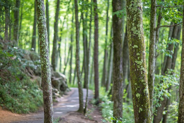


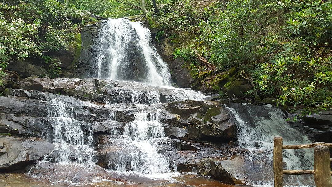


Named for the mountain-laurel (flowering shrub) that grows abundantly in this area of the Great Smoky Mountains National Park, the Laurel Falls trail leads to an 80-foot stunning waterfall. This Trail extends 2.6 miles and is the longest of four paved trails in the national park. The elevation gain during the hike is a manageable 314 feet, which is an easy 273 feet per mile.
Originally, the Laurel Falls Trail was built in the 1930s as an access trail for fire crews in the event a blaze broke out in the Cove Mountain area. Thirty years later its popularity as a hiking trail coupled with natural erosion created the need for the trail to be paved. Today, it continues to be a park favorite, rated as a moderate hiking trail. The round-trip from the start of the trailhead to the waterfall and back takes about two hours, or a bit longer if you spend more time taking pictures and enjoying the scenic views.
Along the trail, you’ll see lush plant life, including mountain-laurel, which typically blooms in May. Also known as Kalmia latifolia, this plant is usually around 15 feet tall.
A word of caution, when hiking Laurel Falls Trail with kids, be sure to keep them from wandering off the paved path. There are some steep drop-offs along the way, especially as the trail approaches the waterfall. The spectacular waterfall, however, has an upper and lower section, bisected by a walkway that passes over the Laurel Branch stream.
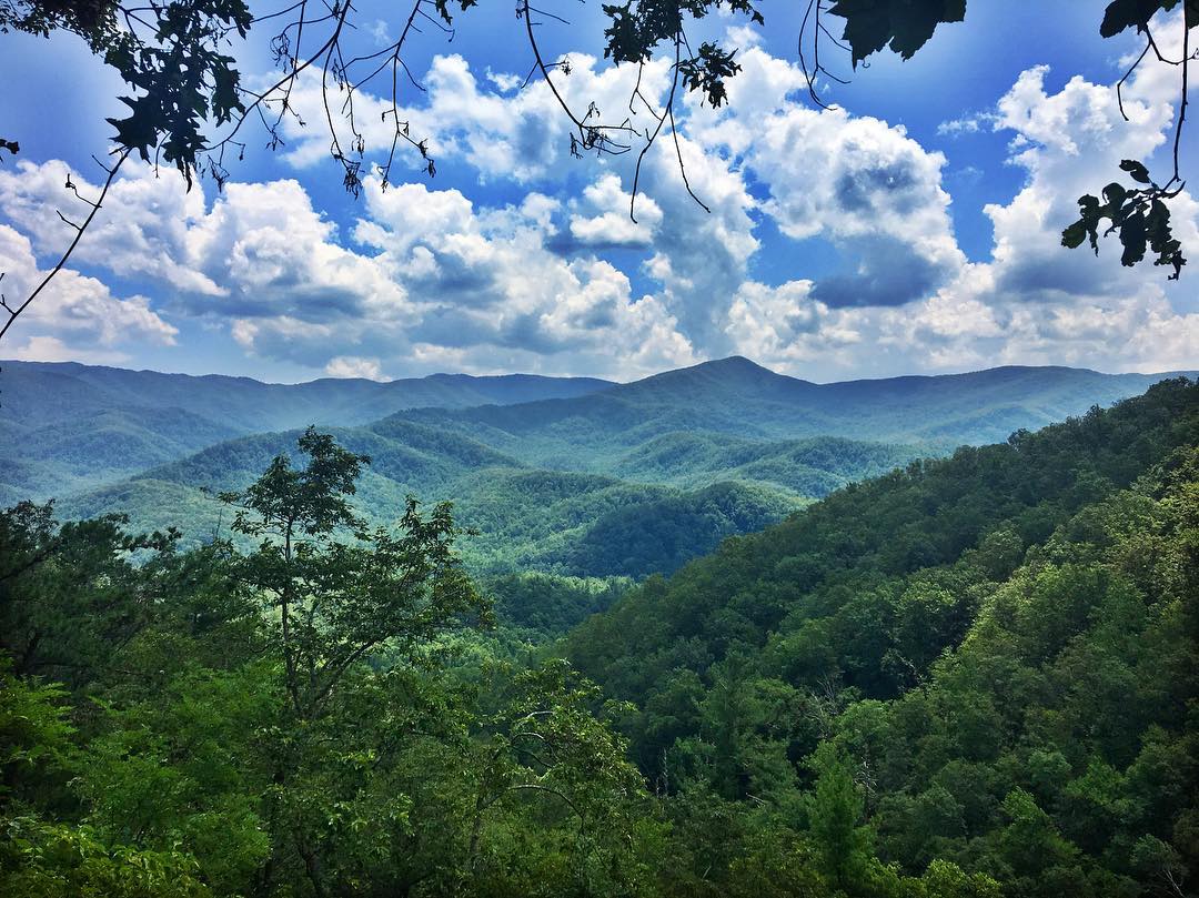
Photo opportunities are ample at Laurel Falls. Early morning or late afternoon can produce some of the best pictures with the mountains providing the right amount of scenic shading.
How Do You Get There?

From downtown Gatlinburg, drive towards the National Park. When you see the Sugarlands Visitor Center on your right side, make a right turn on Little River Road. After turning right, you will drive approximately 3.5 miles to the trailhead. The trailhead is easily identifiable with parking lots on either side of the road and identifying signage.
Take a Guided Tour to Laurel Falls Trail:

Insider tip:
-Black bears can be seen in this area at any time of day. Hikers report catching sight of black bears in both the early morning and in the late evening.
-During the summer months, the parking lot fills up by 9 AM. Get there early to avoid the crowds and secure a parking spot!