

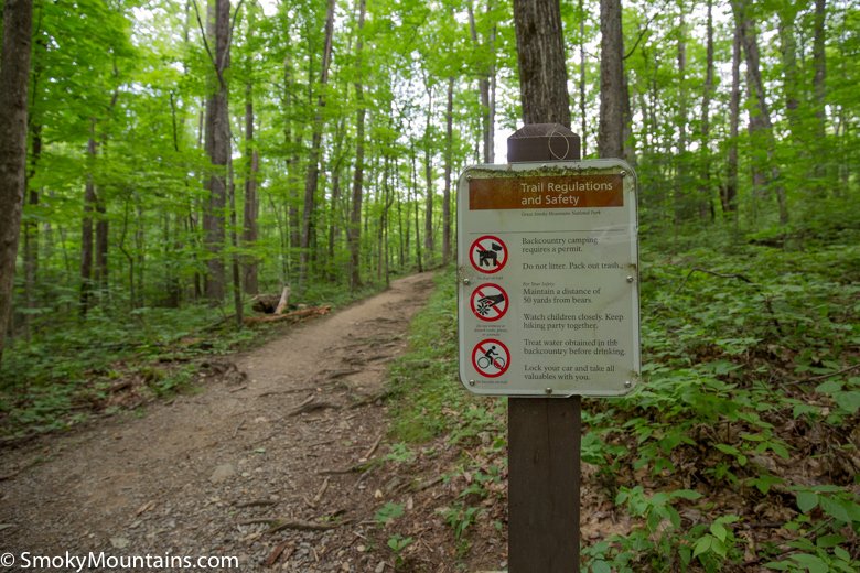


Compared with the more popular waterfall hikes in the park (like Abraham Falls and Grotto Falls), Baskins Creek Falls is still “off the beaten path” and a great choice if you’re looking to escape the crowds. Just be prepared for the steep ascent when returning from the falls!
The main trailhead for Baskins Creek Falls is found on the one-way Roaring Fork Motor Nature Trail loop. (In winter this loop may be closed, but it’s possible to hike in a short distance from Cherokee Orchard Road.) Once you’ve parked at the Baskins Creek trailhead, prepare for a short ascent followed by a long descent to the falls.
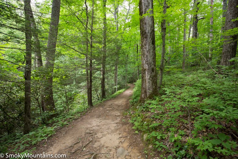
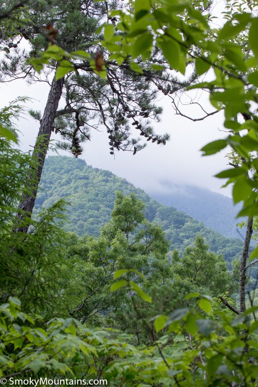
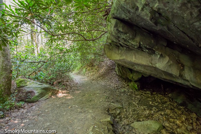
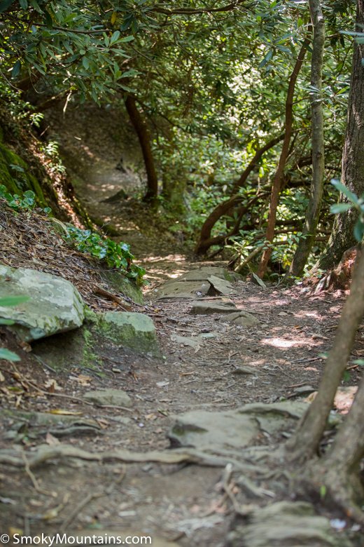
The trail leading to Baskins Creek Falls begins with a short, quarter mile climb. If you’re hiking in winter or early spring, you may catch a view of the mountains to the west as well as a few glimpses of Gatlinburg. Summer foliage obstructs these views. After 0.9 miles, you’ll cross Falls Branch without the assistance of a footbridge. After heavy rains, be prepared for your feet to get wet!
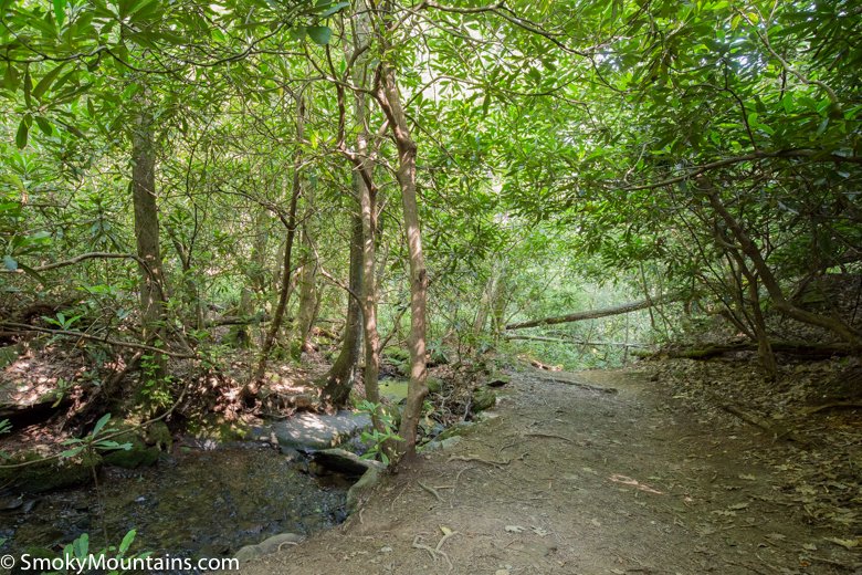
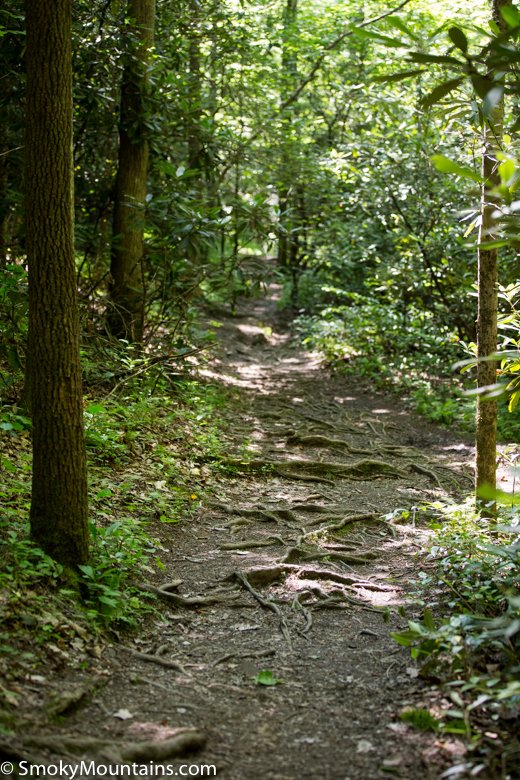
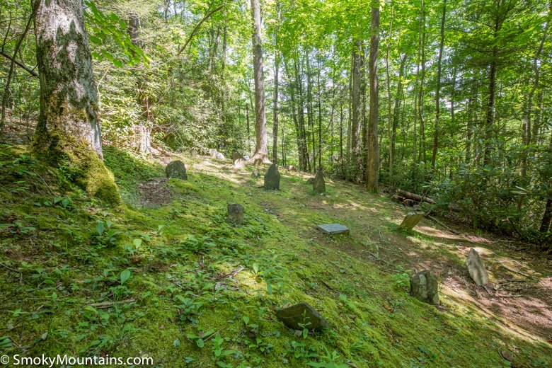
Shortly after crossing the water, the trail begins its rapid descent. At 1.1 miles a side trail spurs to the left, leading to Baskins Cemetery. Stay right to continue towards the falls. You’ll pass over a second small creek, a much easier crossing than the earlier footbridge. At 1.3 miles, you’ll arrive at the trail junction. Turn left to go to the falls. Continuing straight will take you across Baskins Creek again and back to the eastern side of Roaring Fork Motor Nature Trail, the second “trailhead” for the Baskins Creek trail.
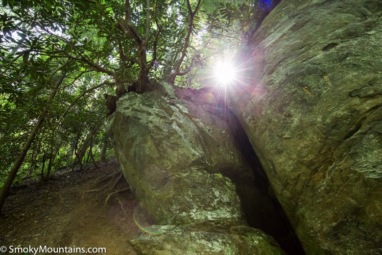
Turn left at the trail junction and descend the final 50 yards down to Baskin Creek Falls. The descent here is especially steep and rugged, but worth the effort. Use caution after rain as the mud and moss on the rocks makes for a slippery, steep descent. Trekking poles come in handy here.
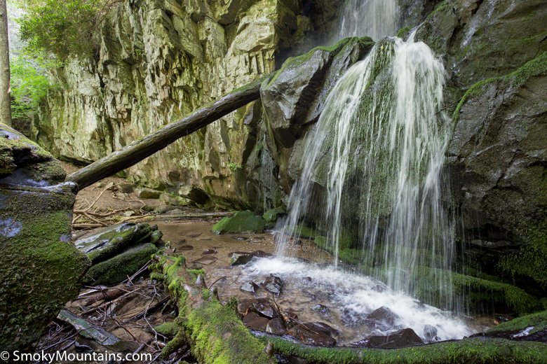
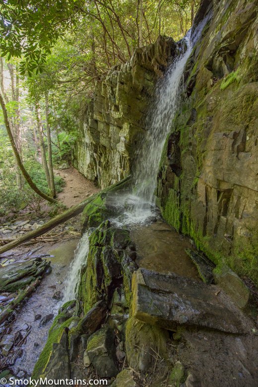
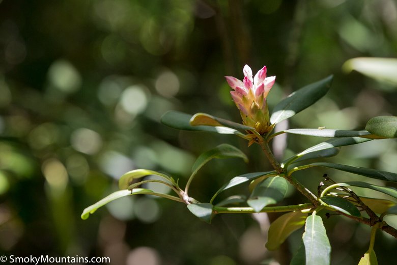
The waterfalls are beautiful and absolutely worth the challenge of the return hike. Legend has it that the falls are named for a local hunter called “Bearskin Joe”. Over the years, pronunciation evolved into “Baskins”. Pack a small picnic lunch or snack to enjoy along the falls and plenty of water for the return ascent. The waterfalls are a natural photo op, as are the lush forests and spectacular laurel blossoms.
If you will be returning to the original trailhead, remember to bear right at the trail junction immediately after leaving the falls. If you are doing a split party hike, bear left at the junction to follow the trail another 1.3 miles to the alternate trailhead.
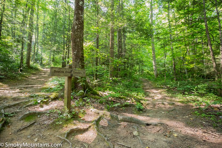
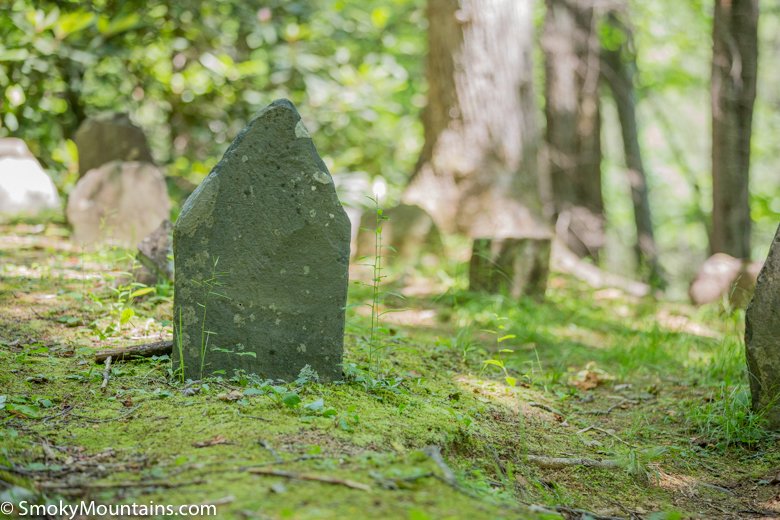
If you return to the original trailhead, keep an eye out for the Baskins Creek Cemetery sign. It’s a steep hike about 200 yards off the main trail to the old cemetery, but worth a visit if you have time.

Insider Tips:
-While you can do this hike as a shuttle hike, given the relative short distance of less than three miles back to the trailhead, a better option might be a split-party hike. Drop off the group at the main trailhead and continue to the second trailhead, where you’ll park the car. Hike the trail in reverse to meet in the middle at the falls, and then continue back out together to the end of the trail. Or, make it a 3-mile out-and-back hike per the description.
-Aim to arrive early in the morning when there will be fewer people on the trail and cooler temperatures for the return hike.
Directions:
From Gatlinburg, turn off the main Parkway onto Historic Nature Trail/Airport Road and drive 0.7 miles before turning onto Cherokee Orchard Road. After driving another 2.2 miles, you’ll enter the one-way Cherokee Orchard Loop. Drive 0.9 miles on the loop and then turn right onto the one-way Roaring Fork Motor Nature Trail loop. The trailhead for Baskins Creek will be 0.2 miles on the left at a small parking area, just before the Jim Bales Places. The well-marked trail begins from the middle of the parking area.